Tech Expertise
GIS Technologies & Platforms
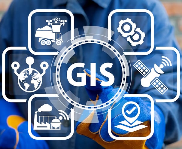
Cortexgrid Solution Limited excels in leveraging the latest GIS technologies and platforms to deliver tailored geospatial solutions for your business. Our team is highly skilled in working with industry-leading GIS tools such as ArcGIS, QGIS, MapServer, and GeoServer, enabling us to optimize spatial data management and seamlessly integrate GIS into your business workflows. Whether it’s for mapping, analysis, or asset management, we help organizations unlock the full potential of their geospatial data to enhance decision-making and operational efficiency.


Advanced Geospatial Data Analysis & Cloud-Based Solutions
We specialize in advanced geospatial data analysis, including spatial analysis, data visualization, and modeling. Our experts use cutting-edge tools to uncover insights from complex datasets like satellite imagery, remote sensing data, and GIS databases. In addition, we provide cloud-based GIS solutions that integrate seamlessly with platforms like AWS, Azure, and Google Cloud to handle large-scale geospatial data analytics. These cloud solutions offer businesses the ability to scale their operations, process big data efficiently, and ensure real-time data access and collaboration across teams.


Industry-Specific Solutions & Custom Development
At Cortexgrid, we understand that every industry has unique requirements. We bring specialized technical expertise to sectors such as urban planning, environmental management, agriculture, and logistics, delivering GIS and IT solutions tailored to each sector’s challenges. Our development process also includes creating custom IT and GIS solutions using frameworks like Python, JavaScript (Leaflet, Mapbox GL), and REST APIs. From mobile GIS applications for field data collection to integrating IoT data for real-time monitoring, we ensure your systems are built for accuracy, scalability, and efficiency, helping your business stay ahead in a rapidly evolving technological landscape.


